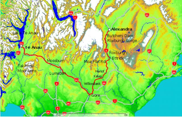
Journey time: 7 hours (297km including spending 3 hours around Roxburgh and lots of photo stops)
Direct (275km) would be 4 hours
Weather: Fine and warm (Alexandra 28°C, Roxburgh 29°C, Te Anau 23°C)
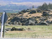
As we leave Alexandra and head South down SH8 we're struck by the unique landscapes. Rocky outcrops dominate, sometimes surrounded by green pasture, sometimes by more barren tussock or by no sign of vegetation at all. We are on the edge of the fragile Central Otago 'dry land ecosystem'.
If you want to take a closer look, stop at Butcher's Dam an irrigation reservoir 500ft above the Clutha River about 6 km South of Alexandra on the left). The lake itself can look stunning at times and you can walk over the top of the dam crest.
If you allow a couple of hours, do go up to the top of Flat Top Hill from the dam, where you'll be rewarded with stunning views of the Roxburgh Gorge a thousand feet below as well as Lake Roxburgh to the South, the Manuherikia Basin (Alexandra) and the Central Otago mountain ranges. A great place for morning tea.
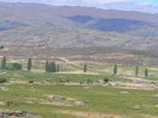
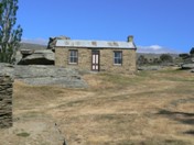
A little further, Symes Road on the right just before Fruitlands, we called in to Mitchell's Cottage - a tiny stone house overlooking a splendid valley that provided a home for the Mitchell family and their ten children over a century ago. Our pioneers were made of stirling stuff.
If the weather is good and you've a 4WD vehicle and an adventurous spirit, consider taking an extra day or so round here to continue up Symes Road. UP rapidly it is to over 1,600m (5,300ft). One of the features is the dramatic Easter Island style rocky outcrops (carved by nature here) - the Obelisk rocks of The Old Man Range.
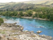
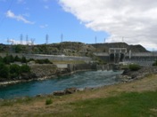
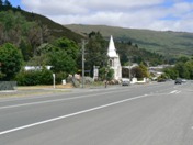
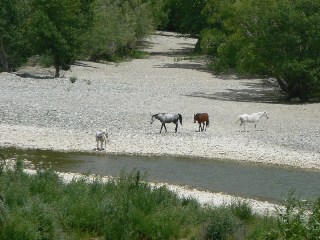
After checking out Mitchells Cottage we continued through to Roxburgh, the fruit growing capital of New Zealand. Here the fertile Teviot Valley micro-climate seems ideal for apricots, apples, plums, peaches and cherries. At Roxburgh there are a few cafes and we took lunch with us and crossed the Roxburgh Bridge to the other side of the Clutha and started heading down the East side of the river. The views back across the river were stunning, including a group of horses that happened to wander down to the river just as we were passing.
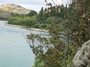
A couple of kilometres down on the right, we eventually managed to find tranquil Pinders Pond and enjoyed eating lunch there. No time to fish unfortunately.
Another kilometer or so down the road we passed the historic Teviot Station woolshed before returning to Roxburgh and continuing down SH8 to Ettrick - a good area to stock up on fresh fruit. We turned right and headed into the hills on Moa Flat Road.
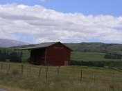
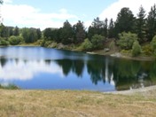
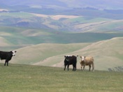
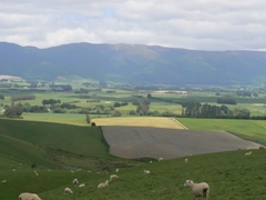
The countryside and views across the valleys are superb. We made our way via Wilden, Dunrobbin, Heriot, Kelso, Merino Downs to rejoin SH90 at Willowbank near Gore.
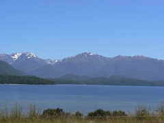
The green of Southland's farming heartland would again change to browner hues then back to green as we passed Lumsden and Mossburn and pressed on for Te Anau and our outstanding value and quality accommodation at the Lakeview Holiday Park on the lakefront at the Southern edge of town.
