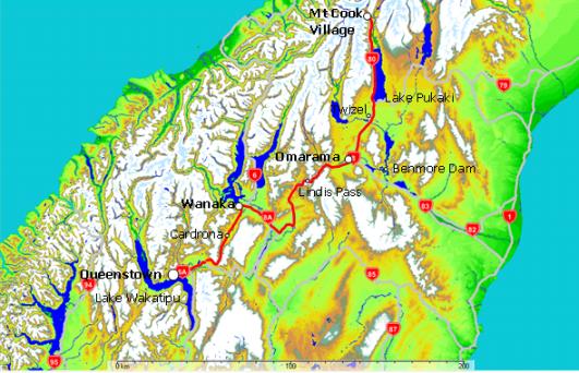
Journey time: 4h:30m (Mt Cook to Queenstown via Wanaka)
Mt Cook - Omarama: 1h:20m (no stops this time)
Omarama - Wanaka: 1h:40m (just a few photo stops)
Wanaka - Arrowtown: 1h:10m (just a few photo stops)
(Mt Cook - Queenstown Direct via Cromwell could be done in under 4 hrs)
Weather: Fine and sunny (Wanaka 16°C, Queenstown 17°C)
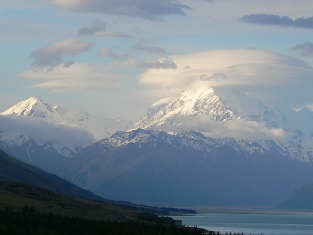
Another night at Mt Cook would have been good but the YHA hostel was booked out (always a popular place). Leaving Mt Cook in the evening, had to break the journey in Omarama - would have fallen asleep at the wheel any minute after all the mountain exercise today. If you allow time, do check out Lake Ruataniwha which you'll find by turning off at Twizel and skirting round the left of the town centre. Maybe follow the canals up to Lake Ohau and catch some salmon for dinner on the way.
In Omarama there is a good outdoor apparel and souvenirs shop. Stayed in a cabin at the Top 10 Holiday Park. Very pleasant place with a hose to gratefully wash down the car after all the dust of Mt Cook.
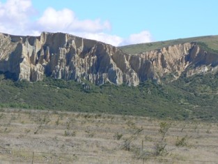
One can see how the soaring cliffs provide the excellent air currents that make this area famous for gliding.
The Clay Cliffs walk is one I've marked down on my To Do list.
If you've time, a side trip down SH83 to Lake Benmore, New Zealand's largest man made lake is recommended. There is a great Visitor's Centre at the Benmore Dam where you can learn all you ever wondered about hydro-electric power generation (from informative people too). Fascinating actually, especially if you're like me and take our power for granted. In fact the trip down the Waitaki River provides some very pleasant scenery and some purported examples of 'ancient' Maori rock paintings. Follow the road over the top of the dam and along the Northern side of the lake to the Aviemore Dam where you can get back to SH83.
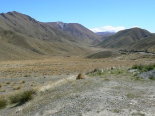
Heading through slightly arid but mildly spectacular lands we finally reach the Lindis Pass. At 971 metres (3,186 ft) it is the highest point on the South Island state highway network. Here we effectively cross the boundary from the Mackenzie Country to Central Otago. The scenery can vary dramatically based on the time of year and weather conditions.
You may be lucky enough to get a great photo here.
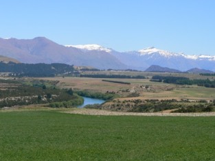
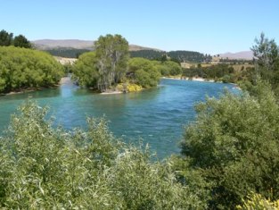
Turning off SH 8 to SH8A at Tarras the landscape will likely be a lot greener and you'll be near the path of the mighty Clutha River. Before long we cross the river and enter Wanaka situated on its beautiful lake. There's heaps to see and do here.
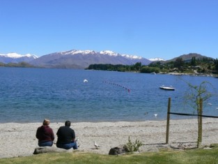
Had to be in Arrowtown by 3pm so had to keep moving. There is a superb viewing opportunity on the way out of town at the Wanaka Golf Course on the Crown Range Road. Here you'll see Lake Wanaka in its full glory.
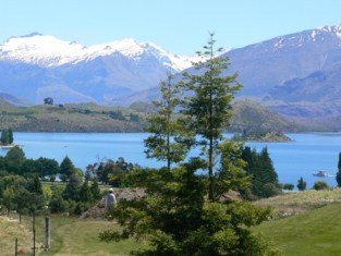
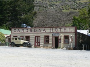
The Crown Range Road is an excellent road and a quick way to Queenstown but check conditions in winter. (This is the highest sealed road in New Zealand at 1,076m/3,530ft). You'll pass a Kiwi icon - the pub at Cardrona. If you haven't imbibed too much, consider a detour (weather permitting) up to the Cardrona ski field for more views. (Your rental car company may forbid this!)
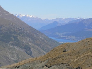
Eventually we're tempted with distant views of Queenstown and Lake Wakitipu round bends in the road. Gradually the peeks get bigger and the Arrow Valley unfolds below, with a very winding descent still to negotiate. This will be our destination for a week as we take in the New Zealand Golf Open and explore Queenstown a little.
Lovely valley views off the Crown Range Road
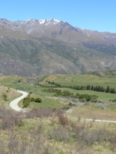
Arrow Valley with Arrowtown on the extreme right
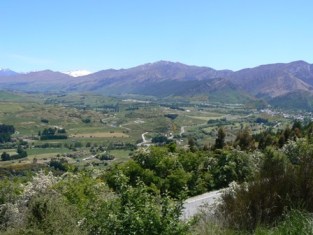
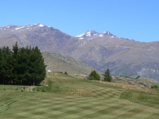
The Hills Golf Club, Arrowtown - strictly private
except for the NZ Open
More on golf in Queenstown...
More pictures of The Hills...LD (5.3Mb) ...HD (9Mb)
Up to Glenorchy...